

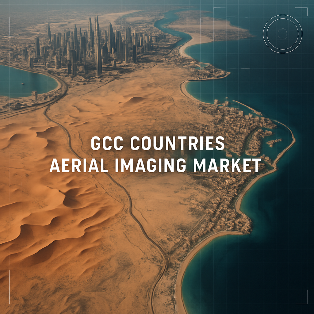
The aerial imaging market across the Gulf Cooperation Council (GCC) countries is poised for dynamic growth, expanding from an estimated USD 392.4 million in 2025 to a projected USD 1,380.0 million by 2035. This represents a strong compound annual growth rate (CAGR) of 13.4%, driven by the rapid implementation of smart city projects, advancements in drone technology, and increasing demand for geospatial intelligence in urban planning, environmental monitoring, and energy infrastructure management.
Uncover Essential Data – Get A Sample Copy https://www.futuremarketinsights.com/reports/sample/rep-gb-20650
Market Trends Highlighted
- Smart City Expansion Driving Geospatial Demand: With ambitious urban development initiatives such as Saudi Arabia’s NEOM and the UAE’s Smart Dubai project, aerial imaging is becoming essential for planning, construction monitoring, and infrastructure optimization.
- Rise in UAV-Based Aerial Imaging: Unmanned Aerial Vehicles (UAVs) are gaining significant traction in the GCC due to their cost-efficiency, flexibility, and ability to cover vast desert and coastal landscapes. Applications span oil and gas asset inspections, traffic monitoring, agriculture, and real estate.
- Integration with AI, GIS, and IoT: Aerial imaging is increasingly being paired with artificial intelligence, geographic information systems (GIS), and Internet of Things (IoT) sensors to deliver real-time, actionable insights for governments and enterprises.
- Environmental and Resource Monitoring: With growing environmental challenges such as water scarcity and desertification, aerial imaging is being used for sustainable land management, coastline surveillance, and resource mapping.
Get Report Link : https://www.futuremarketinsights.com/reports/gcc-countries-aerial-imaging-market
Key Takeaways of the Report
- The GCC aerial imaging market is expected to more than triple over the next decade, indicating widespread adoption of digital geospatial technologies.
- Government-led megaprojects and private sector investments in infrastructure are the primary catalysts for growth in aerial imaging services.
- Real-time imaging and analytics are now integral to sectors like construction, oil and gas, security, transportation, and tourism.
- Regulatory advancements and public-private partnerships are facilitating safe and large-scale use of UAVs across the region.
- The market is also witnessing increased demand for 3D mapping, orthophotography, thermal imaging, and LiDAR-based elevation modeling.
Regional Market Outlook
The aerial imaging industry is growing rapidly across all six GCC nations—Saudi Arabia, United Arab Emirates, Qatar, Oman, Kuwait, and Bahrain—with Saudi Arabia and the UAE leading in terms of project scale and technology adoption. Saudi Arabia is investing heavily in imaging for its Vision 2030 urban projects, while the UAE continues to deploy aerial imaging across smart governance, sustainability, and emergency services. Qatar is also leveraging imaging data for its infrastructure expansion and environmental policies in preparation for long-term economic diversification.

Explore Digital Transformation Industry Analysis : https://www.futuremarketinsights.com/industry-analysis/digital-transformation
Top Segments Studied in the GCC Aerial Imaging Market Report
By Component:
Hardware, Software, and Services.
By Application:
Defense & Security Intelligence, Geospatial Mapping, Urban Planning & Development, Disaster & Response Management, Energy & Natural Resource Management, and Others.
By Industry:
Government, Military & Defense, Agriculture & Forestry, Energy & Mining, Media & Entertainment, Construction & Engineering, and Others.