
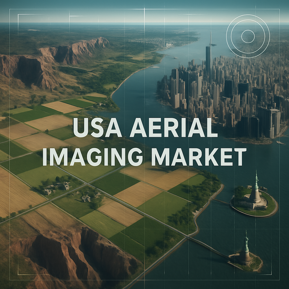
The aerial imaging market in the United States is projected to grow from USD 1,693.7 million in 2025 to a remarkable USD 5,851.8 million by 2035, expanding at a strong CAGR of 9.2%. This surge is being propelled by the growing demand for real-time geospatial data across diverse industries, rapid advancements in imaging and drone technologies, and the increasing deployment of UAVs (unmanned aerial vehicles) for commercial, agricultural, defense, and infrastructure-related applications.
Uncover Essential Data – Get A Sample Copy https://www.futuremarketinsights.com/reports/sample/rep-gb-20635
Market Trends Highlighted
- UAV Boom Across Commercial Sectors: Unmanned aerial vehicles are becoming central to the aerial imaging ecosystem due to their affordability, speed, and ability to capture ultra-high-resolution imagery. Sectors such as energy, construction, agriculture, and emergency response are driving this trend.
- Smart Cities and Infrastructure Modernization: Aerial imaging is integral to the development of smart infrastructure projects, enabling real-time monitoring, land-use planning, traffic optimization, and urban expansion with precision.
- Environmental Monitoring and Climate Resilience: As climate change intensifies, the need for aerial imaging to track changes in land cover, flood zones, wildfires, and coastline erosion has become critical for both private and public sectors.
- Integration with AI and GIS: The fusion of aerial imagery with artificial intelligence, machine learning, and GIS platforms is transforming how organizations analyze terrain, forecast environmental risks, and make strategic planning decisions.
Get Report Link : https://www.futuremarketinsights.com/reports/usa-aerial-imaging-market
Key Takeaways of the Report
- The U.S. aerial imaging market is forecast to triple in size over the next decade, fueled by increasing technological sophistication and multi-sector adoption.
- UAVs are displacing traditional fixed-wing aircraft and helicopters for many imaging applications, offering lower operational costs and better accessibility in complex terrains.
- Real estate, insurance, utilities, and public safety are rapidly integrating aerial data for inspection, assessment, and disaster response activities.
- Innovations such as hyperspectral imaging, thermal scanning, and 3D aerial mapping are further expanding the use cases for aerial imaging.
- Federal and state governments are investing in digital mapping and remote sensing capabilities to support homeland security, agriculture, and infrastructure resilience.
Regional Market Outlook
The aerial imaging market is thriving across the United States, with particularly high demand in California, Texas, Florida, and New York, where infrastructure development, urban sprawl, and environmental monitoring needs are most pronounced. In the Midwest and South, aerial imaging is increasingly used in precision agriculture, energy resource management, and logistics operations. The federal government’s support for disaster management, environmental monitoring, and defense surveillance further bolsters nationwide growth.

Explore Digital Transformation Industry Analysis : https://www.futuremarketinsights.com/industry-analysis/digital-transformation
Tier-Wise Vendor Classification in Oral Dosage Powder Packaging Machines Market, 2025
By Component:
Hardware, Software, and Services. Hardware is leading segment due to advancements in UAV technology and high-resolution imaging sensors.
By Application:
Defense & Security Intelligence, Geospatial Mapping, Urban Planning & Development, Disaster & Response Management, Energy & Natural Resource Management and Others.
By Industry:
Government, Military & Defense, Agriculture & Forestry, Energy & Mining, Media & Entertainment, Construction & Engineering and Others.