

Germany’s aerial imaging market is witnessing rapid growth fueled by technological advancements in drone and imaging systems, coupled with increasing demand for high-resolution aerial data. Estimated to reach USD 567.7 million by 2025, the market is expected to more than triple in value to approximately USD 1,876.4 million by 2035, growing at a robust CAGR of 12.7%. This expansion is propelled by the growing use of aerial imagery across sectors such as agriculture, urban planning, construction, real estate, insurance, and disaster management.
Uncover Essential Data – Get A Sample Copy https://www.futuremarketinsights.com/reports/sample/rep-gb-20611
Market Trends Highlighted
- Surge in Drone-Based Imaging: With Germany’s strong technology infrastructure and supportive regulatory framework, drone-based imaging solutions are becoming increasingly common across both public and private sectors, thanks to their cost-effectiveness, agility, and high-quality outputs.
- Smart City and Infrastructure Projects: As Germany continues to invest in smart cities and modern infrastructure, the demand for aerial imaging in mapping, monitoring, and progress tracking has seen a sharp rise.
- Integration with GIS and AI: The combination of aerial imaging with geographic information systems (GIS) and artificial intelligence (AI) is revolutionizing data analysis, making image interpretation faster, more accurate, and increasingly automated.
- Growing Adoption in Agriculture and Forestry: Farmers and forest managers are turning to aerial imaging for crop health monitoring, land mapping, and yield optimization. This trend is expected to accelerate as precision agriculture practices become more prevalent.
Get Report Link : https://www.futuremarketinsights.com/reports/germany-aerial-imaging-market
Key Takeaways of the Report
- The German aerial imaging market is projected to grow over threefold between 2025 and 2035, highlighting the increasing reliance on visual data and spatial analytics.
- Drone technology is at the forefront, replacing traditional aerial survey methods with flexible, low-altitude, high-resolution imaging solutions.
- Urban planning authorities, construction firms, and disaster response teams are among the key users adopting aerial imaging tools for timely decision-making.
- Advances in sensors, real-time data transmission, and 3D mapping are driving innovation in the aerial imaging ecosystem.
- Regulatory progress from aviation and data protection authorities in Germany is enabling safer and more structured deployment of aerial imaging systems.
Regional Market Outlook
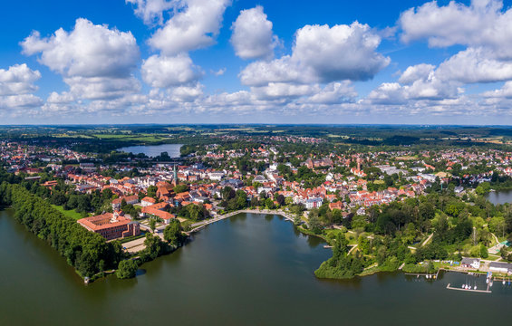
Germany’s diverse industrial landscape and commitment to digital transformation are creating fertile ground for the aerial imaging market. Urban hubs like Berlin, Munich, and Hamburg are leading adopters due to infrastructure projects and real estate development, while rural areas are embracing imaging technologies for agricultural and environmental management. As federal and state-level agencies increasingly turn to aerial data for infrastructure, zoning, and emergency planning, the market is poised for broad-based adoption across the country.
Explore Digital Transformation Industry Analysis : https://www.futuremarketinsights.com/industry-analysis/digital-transformation
Key Segments of the Germany Aerial Imaging Market
By Component:
Hardware, Software, and Services.
By Application:
Defense & Security Intelligence, Geospatial Mapping, Urban Planning, Disaster Management, Energy & Natural Resources.
By Industry:
Government, Military & Defense, Agriculture & Forestry, Energy & Mining, Media & Entertainment, Construction & Engineering.